SAN ANTONIO — The South and Central Texas regions were on high alert Monday afternoon and evening as a line of severe storms began sweeping across the area, bringing threats of hail, high winds and tornado activity.
Three Tornado Warnings were issued in the KENS 5 viewing area late in the afternoon in quick succession. All three now have expired. They affected Gonzales, Guadalupe and Hays counties.
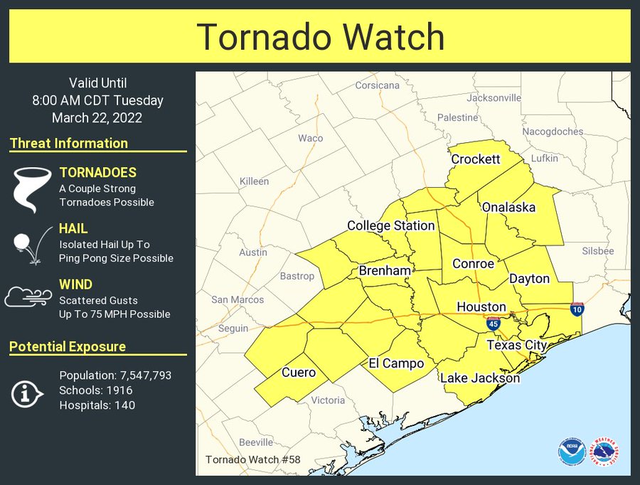
DeWitt and Lavaca counties remain under a Tornado Watch until 8 a.m.
As of 9 p.m., the threats had diminished primarily to hail dangers, according to the NWS. KENS 5’s Sue Calberg shared footage of hail briefly raining down on the east side shortly before midnight.
SEVERE WEATHER 101
When severe weather threatens the area, it is important to know what risks a storm can bring and what you should do to stay safe.
One of the most important things to know is where you are located on a map, so when a watch or warning is put into place, you can identify if you are at risk. When the National Weather Service puts out warnings, they are county-based and sometimes include cities as well. It is important to know where you live in the county and that you can identify it on a map.
It is also important to know the difference between a watch and a warning. A watch means that conditions are favorable for something to happen, but a warning means that something has developed and it is important to take action.
So, what would cause a thunderstorm to be qualified as a “severe” thunderstorm?
Hail that is one inch large is also considered to be about the size of a quarter.
Another ingredient that would lead to a storm becoming severe is if winds are 58 mph or greater.
A tornado watch has been issued for parts of Texas until 8 AM CDT pic.twitter.com/evbFscFoeK
— NWS Austin/San Antonio (@NWSSanAntonio) March 22, 2022
Stop! #KENS5 pic.twitter.com/wBX8XYeEak
— SueKENS5 (@SueKENS5) March 22, 2022
Thankfully that didn’t last long #KENS5 pic.twitter.com/UCqQYonwrG
— SueKENS5 (@SueKENS5) March 22, 2022
